December 2012
| December 2012 |
Capacity building on SDI | |
|---|---|
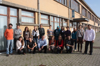 The PEGASO SDI (Spatial Data Infrastructure) makes it possible to apply new spatial technologies and spatial information to discover, visualize, and evaluate related coastal information. It plays an important role in establishing an effective system of participation and governance, thereby supporting the PEGASO Shared Governance Platform and its outcomes. The online technical course designed to train GIS professionals in developing SDI standards and technical data infrastructure ended in October with a week of face-to-face classes in Ostend (Belgium). The course, which was organized by the Flanders Marine Institute (VLIZ, Marine & Coastal Research & Management), the Universidad Pablo de Olavide (Seville) and the Universitat Autònoma de Barcelona (UAB), focused on practical exercises on setting up an SDI, using open-source software, and working through a specific ICZM-related case. The aim of the workshop was to provide training and technical support to project partners to develop their GIS data bases in a geonode that will be connected to a common shared geoportal where all data will be easily accessed. This training course was given in collaboration with the International Oceanographic Data and Information Exchange (IODE) involving experts from ICAN (the International Coastal Atlas Network) and other relevant projects, such as EnviroGrids. More info: simon.claus@vliz.be | |