
September 2012
| September 2012 |
Guria Coastal Region in Georgia | |
|---|---|
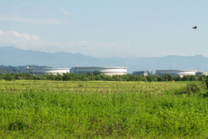 Guria Coastal Region is located along the Black Sea coast of Georgia, spreading approx. 21.5 km from the River Natanebi to the southern edge of the city of Poti. The team have identified as good opportunities for implementing better approaches to coastal management by addressing the main cross-cutting issues in the region: diminishing bathing water quality and increase of beach litter, weak quality of Environmental Impact Assessments (EIA) evaluations (eg. new Supsa port) and acute erosion as well as loss of important natural habitats. Up to date, the team has received training in participatory tools and development of mapping GIS data through the SDI platform (Spatial Data Infrastructure). Continuation on the uploading of available information will continue in the coming months. Moreover, working with maps and models can show the range of expected changes under different scenarios. The first trial of hydrological model for Georgian catchment area has just being produced (River Rioni basin, just north of Guria) and the team expects to use this modeling experience and other learnt tools to assess better management approaches for the catchment of the River Supsa. The case supervisors are Mamuka Gvilava, Black Sea Commission Permanent Secretariat (BSC PS) and Amiran Gigineishvili, Georgia CASE Coordinator. More info: lanchkhuti@civitas.ge |
|