
March 2014
| March 2014 |
Spatial Data Infrastructure | |
|---|---|
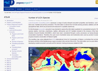 Sharing results with stakeholders and end users at different spatial scales has been a major objective of the PEGASO project. The rationale behind the development of the PEGASO Spatial Data Infrastructure (SDI) was to construct the tool by drawing on existing SDIs developed by project participants (for instance Vlaams Instituut voor de Zee) and EnviroGRIDS) and to support the creation of new geonodes to expand online data sharing and allow access to coastal zone management indicators. This connected infrastructure for sharing spatial data based on ICZM principles was developed in several stages. First, capacity-building activities were established to support the construction of a functional network of geonodes; then the existing geonodes were connected in and access was provided to data from core institutions such as the European Environment Agency; and finally local/regional or national geonodes were developed jointly where requested by stakeholders. The creation of the PEGASO SDI was a collaborative project that required every partner institution to contribute either by developing a local geonode or by providing the results of indicator calculations. The SDI is a practical online tool that acts as a central repository for geographical information on coastal features and issues. Since partners understand the benefits of SDI, they are more willing to share data and contribute datasets, which are easily accessible through the web portal. The PEGASO SDI has three main components: a map viewer, map services and a spatial catalogue. This infrastructure has been created at the Autonomous University of Barcelona (UAB) within PEGASO working package WP3 led by Pablo Olavide University (UPO), Seville. Further information may be obtained from César Martínez Picture: Atlas, PEGASO geoportal |
|